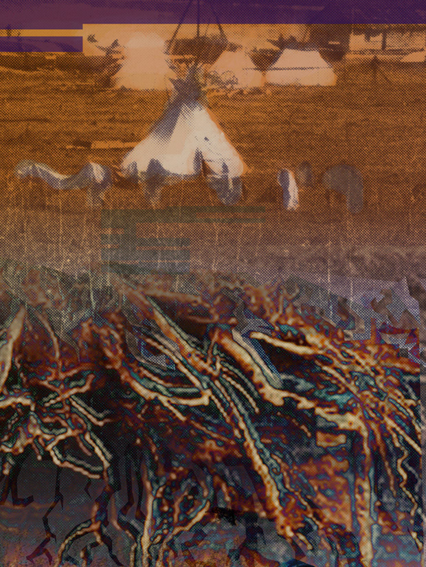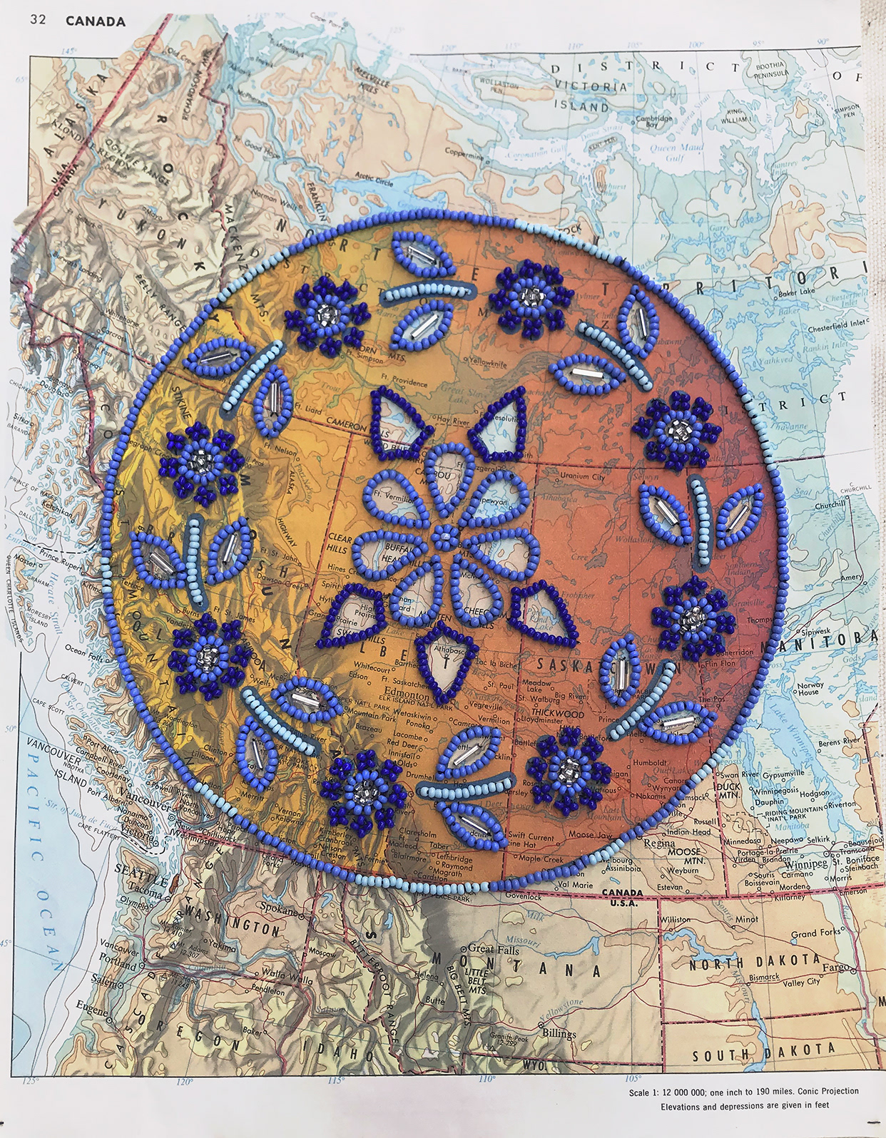
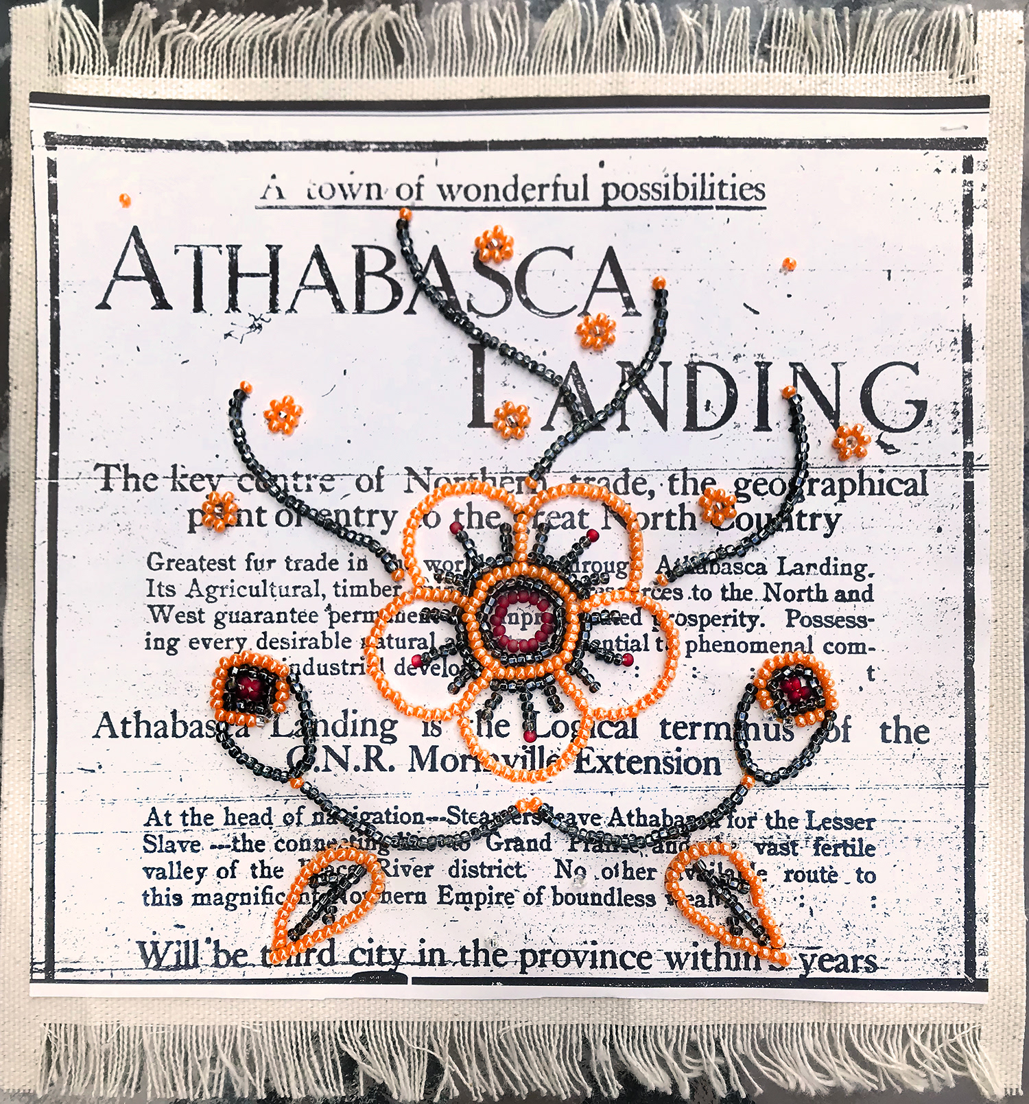
Counter mapping, in my opinion, does not apply to geographical maps alone, but also to ideological maps that 'map' out community - in this case - the colonization of Athabasca Landing, Alberta, Canada in the early 1900's.
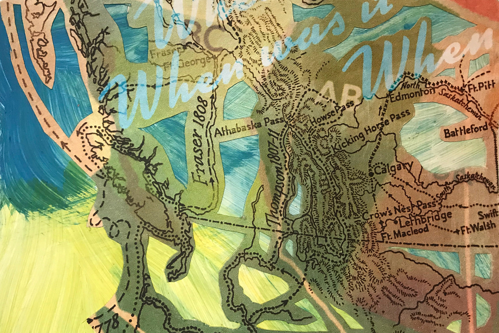
"When was When" - a postcard sized look a map from the 1950's which super-imposed modern settlements over 'Explorer' routes.